
Rotation and turbulence associated with a severe-warned thunderstorm in Halfmoon, New York on July 17, 2017.
Video Field Notes | June 28, 2017
Footage, both formal and informal, captured from different cameras and video sources while on-location in Upstate New York shooting weather-related content.
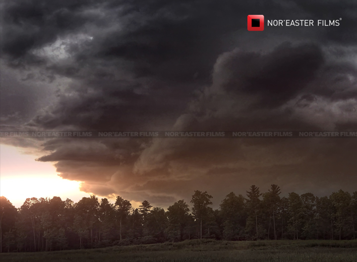
Sun Eater | May 31, 2017
Sunset and Storm in Washington County, New York on May 31, 2017
Mammals | July 23, 2016
Impressive Mammatus formation on the underside of a cumulonimbus in Halfmoon, New York on July 23, 2016.
About Mammatus Clouds: Cumulonimbus, from the Latin cumulus ("heap") and nimbus ("rainstorm", "storm cloud"), is a dense towering vertical cloud [1] associated with thunderstorms and atmospheric instability, forming from water vapor carried by powerful upward air currents. If observed during a storm, these clouds may be referred to as thunderheads. Cumulonimbus can form alone, in clusters, or along cold front squall lines. These clouds are capable of producing lightning and other dangerous severe weather, such as tornadoes. Cumulonimbus progress from overdeveloped cumulus congestus cloudsand may further develop as part of a supercell. Cumulonimbus is abbreviated Cb and are designated in the D2 family. [via Wikipedia]
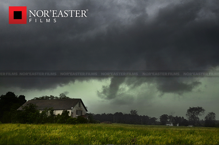
Green sky above an abandoned farmhouse in Halfmoon, New York.